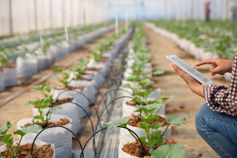
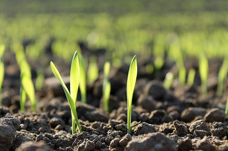
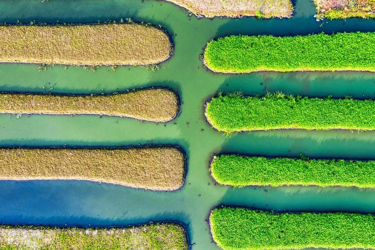
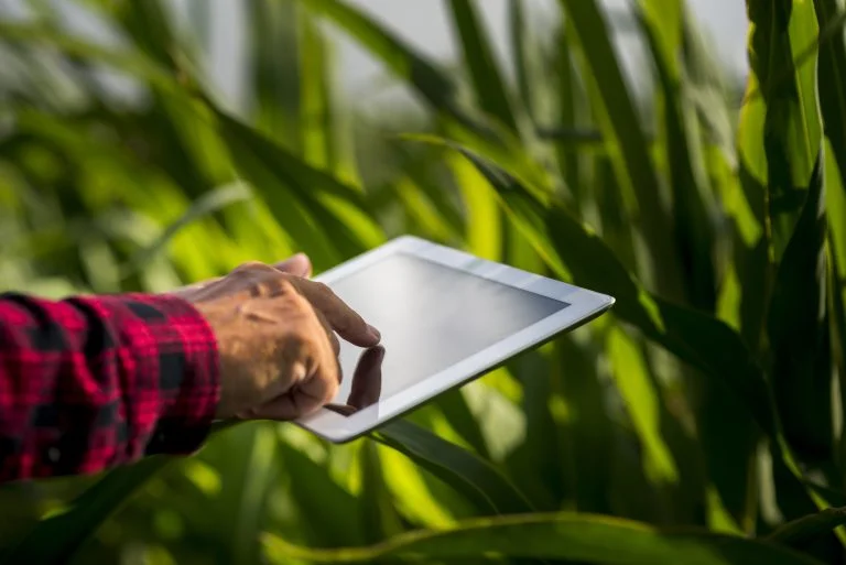
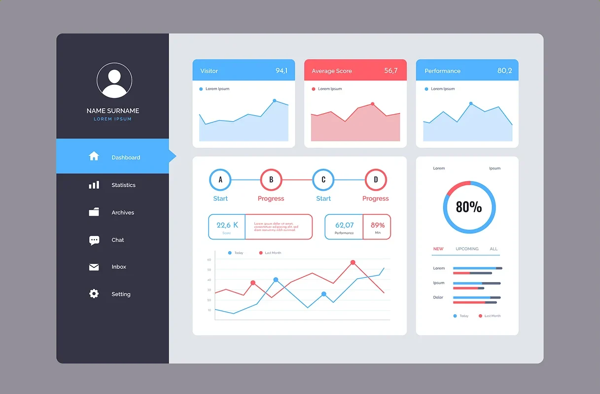
The Ultimate Farm Mapping Tools
FarmXseed is transforming agriculture by combining satellite technology with innovative analytics to deliver actionable insights. Our solutions enable farmers to monitor crops, assess field health, and make data-driven decisions to enhance productivity and sustainability.